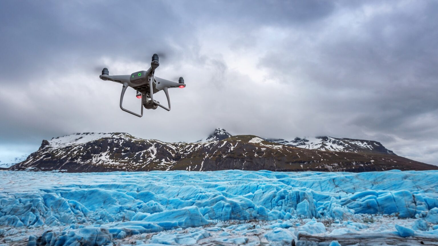
Drone technology has emerged as a powerful tool for disaster response and emergency management, offering significant advantages in terms of speed, efficiency, and data collection. Drones, also known as unmanned aerial vehicles (UAVs), can play a crucial role in various stages of disaster management, from preparedness and response to recovery and assessment.
Here’s how drone technology enhances disaster response and emergency management:
Rapid situational awareness: Drones equipped with cameras, sensors, and thermal imaging capabilities provide real-time aerial views of disaster-affected areas. They can quickly assess the extent of damage, identify hazardous conditions, and locate survivors or stranded individuals. This rapid situational awareness enables emergency responders to make informed decisions and prioritize resources effectively.
Search and rescue operations: Drones equipped with thermal cameras and high-resolution imaging help locate individuals in disaster-stricken areas, such as collapsed buildings or remote locations. They can cover large areas more quickly than ground-based search teams, providing valuable information about survivors’ locations and enabling swift and targeted rescue efforts.
Damage assessment and mapping: Drones capture high-resolution imagery and create detailed maps of affected areas, allowing for accurate damage assessment. This information helps emergency management teams identify critical infrastructure damage, prioritize response efforts, and plan effective resource allocation for rescue, relief, and recovery operations.
Communication and coordination: Drones equipped with communication systems, such as Wi-Fi or cellular networks, can establish temporary communication networks in areas where existing infrastructure has been damaged or disrupted. This enables emergency responders to maintain communication, coordinate their efforts, and relay critical information in real-time.
Hazardous environment monitoring: Drones can access hazardous environments that may be unsafe for human responders, such as areas affected by chemical spills, fires, or radiation leaks. They can provide valuable data on environmental conditions, air quality, and the presence of dangerous substances, helping emergency management teams assess risks and take appropriate safety measures.
Damage documentation for insurance claims: Drones can capture high-resolution imagery and video footage for accurate documentation of property damage. This documentation is crucial for insurance claims, facilitating faster and more efficient post-disaster recovery processes for affected individuals and businesses.
Post-disaster assessment and planning: Drones facilitate efficient post-disaster assessment and planning by capturing detailed imagery and generating 3D models of affected areas. This information helps government agencies, urban planners, and infrastructure experts make informed decisions about rebuilding, infrastructure repair, and long-term recovery strategies.
However, the successful deployment of drones in disaster response and emergency management requires careful planning, coordination, and adherence to regulations. Considerations such as airspace restrictions, privacy concerns, battery life, and weather conditions must be taken into account during drone operations.
In summary, drone technology offers significant benefits in disaster response and emergency management. From rapid situational awareness and search and rescue operations to damage assessment and communication support, drones provide valuable data and capabilities that enhance the effectiveness and efficiency of emergency response efforts, ultimately saving lives and reducing the impact of disasters.


