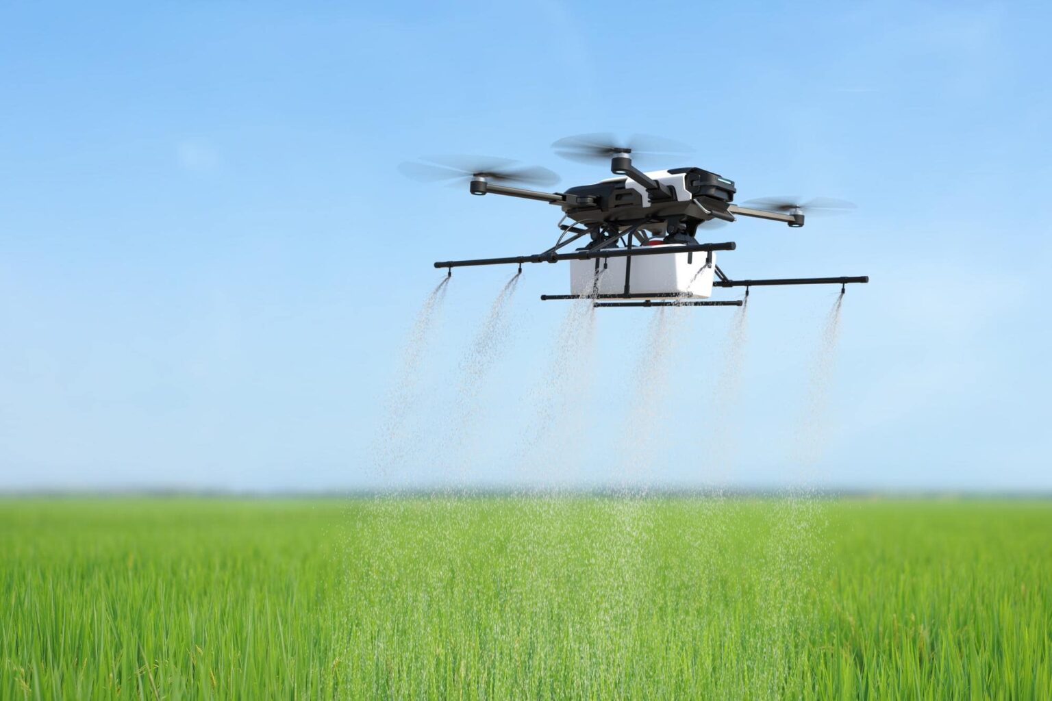
Drone-based precision agriculture has emerged as a powerful tool for optimizing farming practices and increasing crop yield. By leveraging the capabilities of drones, farmers and agronomists can collect valuable data about crop health, soil conditions, and field variability. This data-driven approach allows for more targeted and efficient agricultural practices. Here are some key aspects of drone-based precision agriculture:
Crop Monitoring and Health Assessment: Drones equipped with high-resolution cameras and multispectral or hyperspectral sensors can capture detailed images of crops and analyze vegetation indices. These indices provide insights into plant health, identifying areas of stress, nutrient deficiencies, or disease outbreaks. Early detection of such issues enables timely interventions and targeted treatments, improving overall crop health and minimizing yield losses.
Field Mapping and Planning: Drones can generate detailed maps and 3D models of agricultural fields. These maps provide valuable information about field topography, drainage patterns, and soil variability. By analyzing this data, farmers can create precise field plans, optimize irrigation systems, and make informed decisions about seed planting, fertilization, and pesticide application. Such precision reduces resource wastage and maximizes crop productivity.
Crop Scouting and Pest Management: Drones equipped with thermal cameras or multispectral sensors can detect variations in crop temperature or identify specific pest infestations. This enables farmers to target pest management strategies more effectively, reducing the use of pesticides and minimizing environmental impact. Drones can also be used to monitor the effectiveness of pest control measures and adjust management practices accordingly.
Irrigation Management: Drones can provide valuable insights into soil moisture levels and crop water stress. Thermal sensors or specialized imaging techniques can identify areas that require more or less irrigation. This information helps farmers optimize irrigation scheduling and adjust water application rates, leading to efficient water use and improved crop health.
Planting and Seeding: Drones equipped with seed dispersal mechanisms can precisely plant seeds in designated areas, ensuring optimal seed spacing and distribution. This targeted approach reduces seed wastage and enhances overall planting efficiency. Drones can also be used for aerial seeding in areas that are difficult to access or where traditional planting methods are impractical.
Crop Yield Estimation: Drones can capture detailed imagery of crops during various growth stages. By combining this imagery with machine learning algorithms and data analytics, farmers can estimate crop yields with greater accuracy. This information aids in production planning, resource allocation, and market forecasting, enabling better decision-making and profitability.
Time and Cost Efficiency: Compared to traditional manual scouting methods, drones can cover large agricultural areas in a fraction of the time, providing real-time data and reducing labor costs. Drones can also be deployed quickly, allowing for timely interventions and reducing crop losses due to delayed or inadequate monitoring.
Integration with Farm Management Systems: Drone data can be integrated with farm management software and other digital platforms. This integration enables seamless data analysis, visualization, and integration with historical data, allowing farmers to track and monitor changes in crop health and productivity over time.
Drone-based precision agriculture holds immense potential for optimizing farming practices, increasing crop yield, and promoting sustainable agricultural practices. By leveraging the capabilities of drones for data collection, analysis, and decision-making, farmers can make more informed and targeted interventions, reducing resource wastage and improving overall farm productivity. As the technology continues to evolve, with advancements in sensors, AI algorithms, and data analytics, we can expect further improvements in the precision and effectiveness of drone-based precision agriculture.


