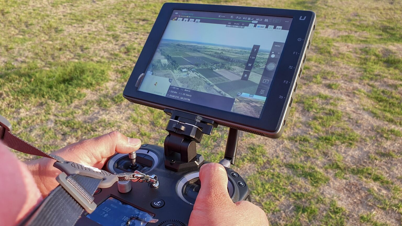
Drone-based 3D mapping and surveying refer to the use of unmanned aerial vehicles (UAVs), commonly known as drones, to collect and process geospatial data in three dimensions. These drones are equipped with advanced imaging sensors, cameras, and LiDAR technology that allow them to capture high-resolution imagery and data. This technology has the potential to revolutionize geospatial data collection and analysis, making it faster, more efficient, and cost-effective.
One of the most significant advantages of using drones for 3D mapping and surveying is the speed and efficiency with which they can capture data. Drones can cover large areas in a short amount of time, and they can collect data from areas that are difficult or impossible to reach with traditional surveying techniques.
The data collected by drones can be used to create highly accurate and detailed 3D maps and models of the surveyed area, which can be used for a wide range of applications. For example, 3D maps and models can be used to:
- Monitor changes in the landscape over time
- Plan and design new construction projects
- Assess the environmental impact of development
- Support emergency response efforts in the aftermath of natural disasters
Drone-based 3D mapping and surveying have revolutionized geospatial data collection by providing efficient, cost-effective, and accurate methods for capturing detailed information about the Earth’s surface. Drones, or unmanned aerial vehicles (UAVs), equipped with various sensors and imaging technologies, can rapidly acquire high-resolution aerial data, which is then processed to generate 3D models, maps, and detailed topographic information. Here are some key ways in which drone-based 3D mapping and surveying have transformed geospatial data collection:
- High-Resolution Data Acquisition: Drones enable the collection of high-resolution data from previously inaccessible or hard-to-reach areas. With their ability to fly at low altitudes and maneuver in tight spaces, drones can capture detailed imagery and data with much higher resolution compared to traditional aerial or satellite methods. This level of detail is crucial for applications such as urban planning, infrastructure inspection, environmental monitoring, and archaeological site documentation.
- Flexibility and Rapid Deployment: Drone-based mapping and surveying offer flexibility and rapid deployment capabilities. Traditional surveying methods often require significant time and resources, such as ground-based measurements or manned aerial surveys. Drones, on the other hand, can be deployed quickly and easily, allowing for efficient data acquisition over large areas in a short time frame. This speed and agility make drones ideal for time-sensitive projects or areas that require frequent monitoring.
- Cost-Effectiveness: Drone-based data collection is often more cost-effective compared to traditional methods. Manned aerial surveys or ground-based measurements can be expensive, especially for large or remote areas. Drones offer a more affordable alternative, significantly reducing costs associated with equipment, personnel, and logistics. The lower operational costs make it feasible to collect data more frequently and over extended periods, enabling better monitoring and analysis.
- Enhanced Safety and Reduced Risk: Drones can improve safety and reduce risk in geospatial data collection. For example, drones can be used for dangerous or hazardous environments, eliminating the need for humans to enter potentially risky areas. This is particularly valuable in applications like disaster response, mining operations, or inspecting infrastructure in difficult-to-reach locations. By minimizing human exposure to hazards, drones enhance safety and reduce the potential for accidents or injuries.
- Accurate 3D Modeling and Mapping: Drone-based data acquisition, combined with advanced photogrammetry and remote sensing techniques, allows for the creation of accurate 3D models and maps. By capturing multiple overlapping images from different angles and using algorithms to extract geometric information, drones can generate highly detailed and precise 3D models of the terrain, structures, or objects of interest. This level of accuracy is crucial for applications such as land surveying, infrastructure design, and precision agriculture.
- Integration with GIS and Analytical Tools: Drone-based 3D mapping and surveying seamlessly integrate with geographic information systems (GIS) and analytical tools, enhancing data analysis and decision-making capabilities. The acquired data can be processed, georeferenced, and integrated with existing geospatial datasets. This integration allows for advanced spatial analysis, change detection, volumetric measurements, and the extraction of valuable insights from the collected data.
- Environmental Monitoring and Conservation: Drones have proven to be valuable tools for environmental monitoring and conservation efforts. They can capture detailed imagery and data about ecosystems, vegetation, and wildlife habitats. This information helps scientists and conservationists monitor changes, assess biodiversity, detect environmental degradation, and plan appropriate conservation measures. Drones also aid in assessing the impact of natural disasters, such as wildfires or floods, on the environment.
Drone-based 3D mapping and surveying have revolutionized geospatial data collection by offering unprecedented capabilities in terms of resolution, flexibility, cost-effectiveness, and safety. As technology continues to advance,


